City of Hartford Boundaries Through Time
Hartford Through Time
Hartford’s present extent of 18 square miles is an artifact of town and city amalgamation between 1784 and 1896. The census conducted a few years after incorporation estimated the city’s population to be 2683. Each charter revision redefined the city in relation to its commercial business district as well as the future suburbs of East Hartford, Manchester, and West Hartford. By 1881, the town and city had coterminous boundaries and consolidated government followed in April 1896. Native American, European, and African communities shaped the early histories of mobility, displacement, dispossession, and settlement in Hartford. The three Great Migrations of African Americans, West Indians, and Puerto Ricans would shape the twentieth-century trajectory of the city as earlier generations of European migrants had done before them.
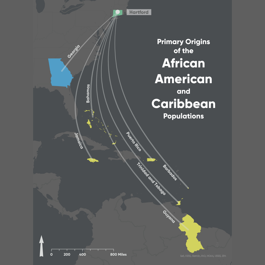
Primary Origins of Hartford’s African American and Caribbean Population
About
Hartford, Connecticut attracted three waves of internal and transnational migrations of African American, Puerto Rican, and West Indian communities that transformed the city’s racial and ethnic landscape. These monumental shifts in mobilities unfolded in many other metropolitan areas in the United States like Chicago and Philadelphia, Harlem and San Francisco in the twentieth century. This project explores the history of migration, housing, settlement, community formation, and succession through the lens of Hartford, one of America’s wealthiest cities at the end of the Civil War.

Hispanic Heritage Month: CT Tobacco Industry Impact on Diversity
